|
Traditionally known as Bawating, the City of Sault Ste. Marie has long been a gathering place for people from across Turtle Island. Located at the confluence of Lake Superior to the north, Lake Huron to the East, and Lake Michigan to the south, Sault Ste. Marie is gifted with a rich cultural and natural heritage. There is evidence that people have been meeting here for longer than even the Great Pyramids were around. In recent years, there has been a focused effort to attract and retain visitors and residents from out-of-region and around the world to live and work in Sault Ste. Marie. To support these efforts, the City Council approved the use of a new logo and slogan, moving from “Naturally Gifted” to “Work. Life. Balance. Where you belong. Biindigen.” This change represented a shift from showcasing Sault Ste. Marie’s natural heritage exclusively, to celebrating all of the natural and cultural heritage of the community. For thousands of years, Bawating, the place of rushing waters, has been a stopping point or gathering place for food, drink and accommodations. The plentiful whitefish found in the rapids attracted people from as far away as the James Bay coast and the Mississippi River for trade and ceremony long before Europeans landed here. The French Voyageurs stopped here on their journey from Montreal to Thunder Bay and back, some settling here with their aboriginal wives. After the fur trade ended, the river continued to attract people and industry. This influx required the construction of a system of canals and locks to accommodate the larger boats. The power generated by harnessed water, attracted investment for industry and eventually the town grew to be incorporated as a city over a hundred years ago. 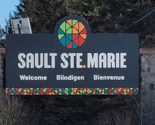 There is an ebb and flow to the culture and heritage here that is intertwined with the land and the waters that surround it. Indigenous and non-Indigenous people work and learn together in a vibrant community that celebrates all aspects of its rich heritage. Come sink your feet into the waters of the Saint Mary’s rapids to get that sense of place that is often referred to as the center of Turtle Island. Touch the sandstone quarried out of the canals used to build unique public buildings or taste food served up in a refurbished paper mill in the growing canal district. Come find out what makes the Algoma region so special. Let the food, culture and history of the region inspire your next adventure. 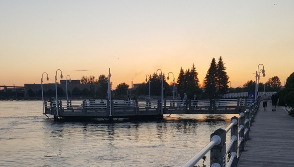
0 Comments
|

 RSS Feed
|
Vertical Divider
|

|

|

|


© 2023 by Blaq Bear Eco Adventure Routes. All rights reserved.