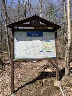
Trail of the Month - Below the Cliff Trail |
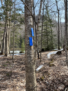 Blue blazes indicating a right turn. | 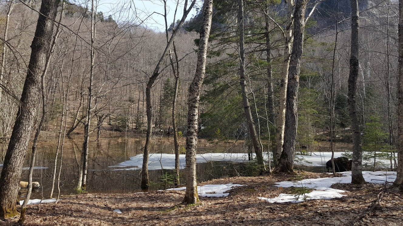 Snowmelt pond at the bottom of the cliffs. |
The trail turns to run parallel with Robertson Lake Road as you get closer to the cliffs. The view from the bottom of the cliffs is stunning without leaves concealing the imposing rock faces. We proceeded to walk by rockfalls, moss covered boulders, and large glacial erratics scattered haphazardly through the forest. TIP: If you hike with a dog, be aware there are porcupines in the area. We had Willow with us, who wandered into the forest closer to the cliffs and returned a few minutes later with a collection of porcupine quills firmly embedded in her muzzle.
This trail is best walked at a slow pace at this time of year because there is so much to see. We stopped a few times when we had a good view of the cliffs above to watch the peregrine falcons. If you’ve never seen falcons in action, they are amazing birds who nest in the cliffs. In early spring, they are guarding their nests. If you have patience, you may be lucky enough to see them battling with crows in the air as they protect their eggs. These spectacular creatures can fly to a maximum speed of 390 km/h and put on quite a show.
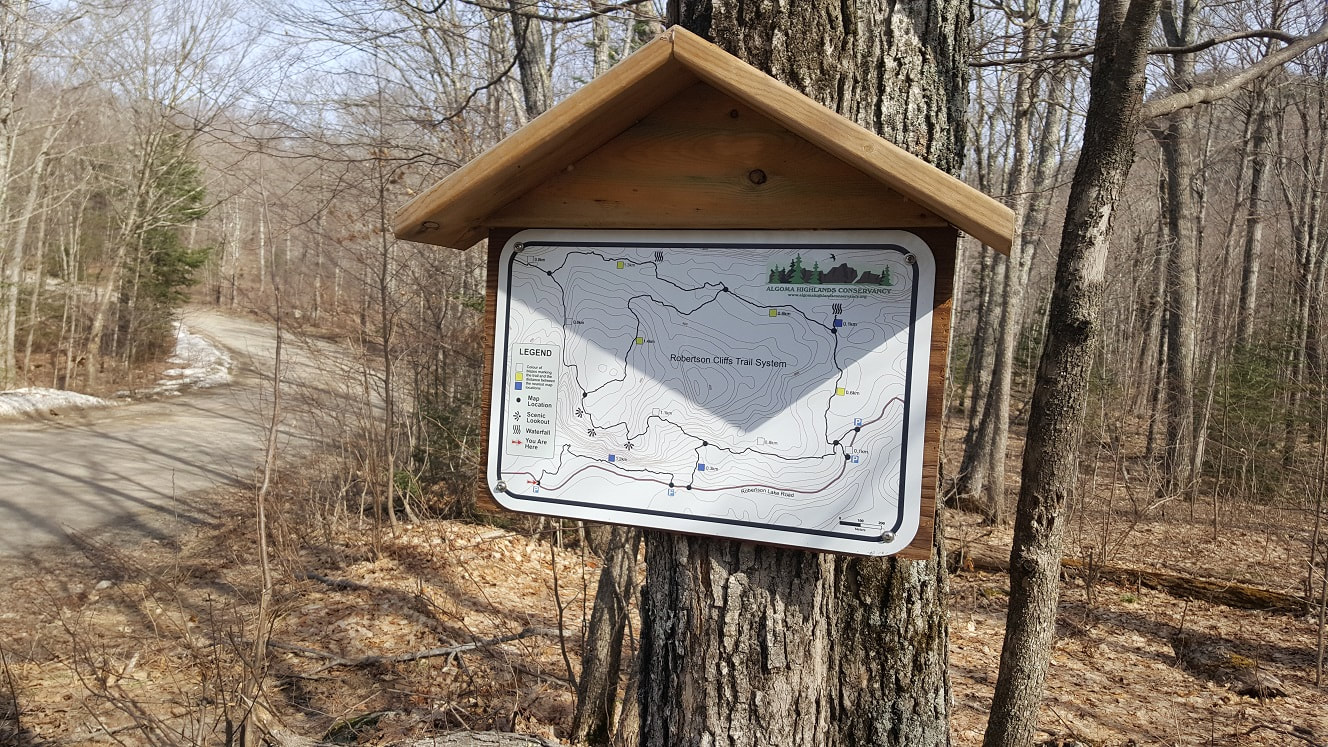
 Algoma Highlands Conservancy Trailhead sign at second parking area. | 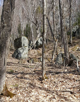 Erratic boulders in the forest. |
After 1.5 kilometres, the trail ends where it loops back to connect with Robertson Lake Road at the second parking area. Here we did a short stint of road walking, and then headed back into the forest following the blue-blazed Voyageur connecting trail. This is the most challenging part of the hike…a brief but steep uphill section that links with the white-blazed main trail. To the left, at the intersection, you can continue on to the top of the cliffs or head to the right towards the Trailhead just over a kilometer away. We turned right – our early spring hiking legs are not up to the cliffs trail just yet!
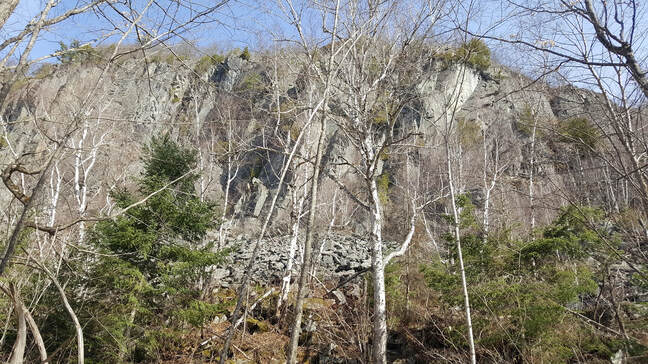
Robertson Cliffs from below.
The remainder of the trail is rolling ups and downs that take you back to the third parking lot. Here we climbed into the vehicle, discussing how to remove the porcupine quills from Willow’s face. The key to enjoying this trail in the early spring is to be patient and watch. To the hurried hiker, the landscape may seem bland and brown. However, to the observant and attentive hiker, the trail is a world of wonder on a sunny day, with imposing cliffs, birds of prey, sparkling moss, birdsong, and running water. The Below the Cliffs Trail is also a great option if you’re thinking of trekking to the top of the cliffs later this season and you need to build up your climbing legs.

Are those porcupine quills or weird fangs in Willow's muzzle?
0 Comments

 RSS Feed